
Windham Neighbors by Source
No official record is a complete list of people on a block. AxisGIS maps parcels. Assessor cards name owners and mailing contacts. Deeds record transfers, permits name project roles, and civic pages identify public groups. Looking up Windham neighbors means using the source that matches the question and refusing to turn one public role into a claim about a whole household.
| Source | What It Shows About a Block | Access |
|---|---|---|
| AxisGIS parcel and Abutters tools | Selected parcels, buffers, parcel IDs, and owner or assessment links | Public viewer; current layer and export options must be checked |
| Windham assessor cards | Site, owner, mailing, assessment, and parcel keys | Public card or viewer; date-stamped, not occupancy proof |
| Town Clerk and SearchIQS | Deeds, easements, maps, and historical owners | Guest index and some images; certified copies from Clerk |
| PermitLink and civil property inquiry | Project roles or a public docket tied to a location | Public portals with separate coverage limits |
| Voter records | Individual registration or regulated file data | Individual lookup; no open address-by-address list |
| Civic and historical sources | Organizations, events, dated directory entries, and map context | Town pages, ECSU, libraries, and archives |
Record the date and role with each result. “Abutting parcel,” “owner of record,” “permit applicant,” and “listed at address in a dated directory” are precise. “Neighbor” may suggest an occupant and should not replace those labels unless a source supports it.
Select a Windham Block
Open the AxisGIS Windham viewer with an exact street address or parcel ID. Owner searching uses surname-first form and may accept a first name after a space. Address data is entered by people, so drop or vary the suffix if a full street form misses. A selected result zooms the map and can expose parcel details, assessment data, and available document links.
Save the parcel ID, situs address, map date, active layer, and printed town. Windham includes Willimantic, North Windham, South Windham, and Windham Center labels, but these are districts or postal forms within the Town of Windham. Postal wording does not create a second assessor or county parcel system.
One target parcel is enough. Expanding the search only as far as the block question requires keeps the result useful and avoids compiling unrelated names.
Map Windham Adjacent Parcels
The AxisGIS Abutters tool can build a reproducible area around the selected parcel. An abutter is a parcel captured by the chosen boundary or buffer rule. The GIS relationship is a map result, not a legal ruling about a boundary, owner, or occupant.
- Select the target parcel and open Abutters.
- Set the buffer distance and choose feet or miles, then run Select.
- Review the chosen parcels and manually add or remove any parcel when the interface permits.
- Save or print the Abutters Report or mailing labels if those options are enabled.
- Check each parcel ID against its assessor card, then use deeds, permits, or maps only when the question calls for them.
Date the buffer and selected layer. Generic AxisGIS help describes PDF and spreadsheet exports, but the current Windham screen must be checked before promising that every feature is enabled. For legal adjacency, use a recorded map, deed, or survey. A full named-street review belongs on the Windham street directory page.
Read Windham Parcel Roles
A parcel may have an owner mailing address outside Windham, an entity or trust owner, several recorded interests, and different people using the site. The assessor card can display current owner, mailing address, property location, ownership history, values, site traits, and parcel keys. Those fields describe the tax and property record. They are not a household census.
Use the Windham Assessor page to reach official parcel resources. Then classify each name by its source role. A grantor transferred an interest. A grantee received one. A permit applicant sought project approval. A taxpayer or mailing contact may be elsewhere. These distinctions prevent nearby property data from becoming a false list of Windham neighbors.
Note: Matching the owner mailing address to the parcel can suggest an owner-site link, but it still does not identify every occupant.
Windham Voters Are Not Rosters
The Windham Registrars of Voters link to Connecticut's individual lookup and election results. The lookup is designed to check one registration using personal identifying fields. It is not a search by street, radius, or adjacent parcel. A missing individual result cannot show that a building is vacant.
Connecticut's statewide voter file is a different product. The research identifies a $300 CSV request, year-only public birth data, stated purpose limits, and a rule that towns update the centralized list within 60 days after elections or primaries. Election pages publish aggregates, not the names beside each parcel. Privacy programs can suppress protected address information.
For a block profile, record only lawful, necessary facts and the lookup date. Never try to reconstruct a private street roster from individual searches.
Windham Neighborhood Groups
Windham's public civic pages add local context without exposing private household lists. The Town identifies neighborhood, arts, revitalization, and regional groups that can help explain a district, public project, meeting, or event. Organization presence does not show that a named person lives nearby.
The Windham civic-group inventory shows the official public resource in its current Town setting.
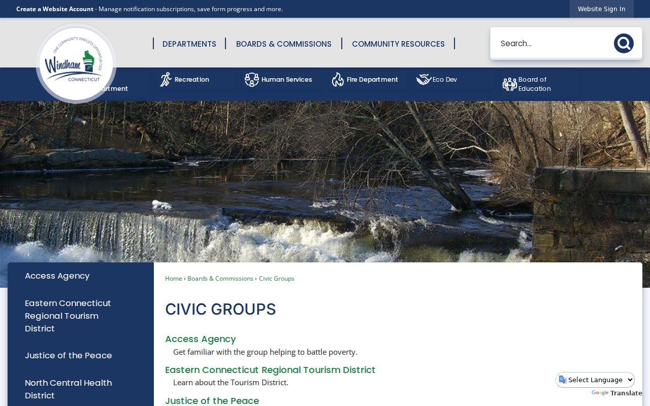
The page is an organization route, not a member directory. Public contacts, meetings, agendas, and activities may be relevant to the block, while private members and addresses remain outside the claim.
| Organization or Resource | Public Use | Limit |
|---|---|---|
| Willimantic Downtown Neighborhood Association | District and civic activity context | No public member-address directory located |
| Willimantic Victorian Neighborhood Association | Public contacts and activities when posted | Membership does not prove residence |
| Natchaug-Willimantic NRZ | Meetings and revitalization documents | Participants are not a household list |
| Windham Historic District Commission | Agendas, notices, and project applications | An application is a project role |
| Renaissance, Whitewater, and arts groups | Event and community context | No private roster inference |
Windham Community Links in Context
The Town portal and Quick Links broaden the civic picture. They list public resources such as Downtown and Victorian associations, Willimantic Renaissance, Whitewater Partnership, the regional Arts Council, the Chamber, and related groups. These names can identify the theme or area behind a public event, not the homes of members.
Browse the Windham community and neighborhood resource portal as a source of public organizations.
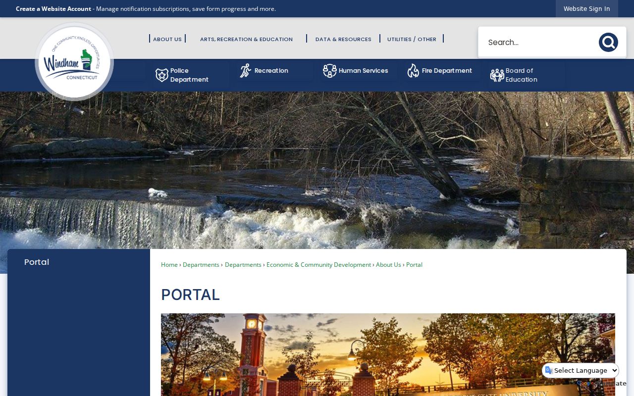
The capture separates a public resource list from a resident lookup. Follow an organization to its official contact or meeting information only when that public activity answers the block question.
Compare Windham Neighbor Sources
Official sources are narrower than commercial neighbor tools, but their fields have named custodians and clearer dates. Commercial category results may merge names, old addresses, relatives, or phone data. They are described here only as a contrast and are not linked.
| Source Type | Best Use | Main Limit |
|---|---|---|
| Windham GIS and assessor | Parcels, owner fields, assessment links | Owner does not equal occupant |
| Town Clerk, permits, and courts | Specific transactions, projects, or cases | A party role does not prove residence |
| Civic and historical collections | Public group or dated block context | Not a current household roll |
| Commercial neighbor category | Unverified leads | May be stale, merged, or wrongly assigned |
Use an official record when a parcel, transfer, permit, registration, or public organization is the question. If no official source answers it, report the gap. Do not patch it with an unsupported household claim.
See Windham Blocks Over Time
Historical maps and directories can explain why a modern block looks different. Willimantic Sanborn holdings are listed for 1887, 1892, 1897, 1903, 1908, 1914, and 1924. Digital Windham adds a 1903 map, 1909 aerial material, 1909-1910 address entries, and the 1938-1939 Price & Lee directory.
Compare an old building footprint and street number with a dated directory, then reconcile both to the modern parcel. Mark demolition, altered use, map scale, and number uncertainty. Windham research found no official dated street-renumbering list, so a visual match alone is weak.
Willimantic's 1983 consolidation with Windham also changes catalog labels. Preserve the historic city name, current Town of Windham municipality, and postal form as separate fields. That local geography is part of the evidence.
Protect Windham Neighbors
Household members, guests, utility or delivery customers, protected voters, sealed or juvenile parties, and private organization rosters are not public block layers. Connecticut's address-confidentiality and voter-privacy protections exist so approved people cannot be found through ordinary address publication. Respect missing or suppressed data.
Limit the result to what the record shows. Parcel adjacency, dated ownership, a public project role, or historical directory evidence can be reported with its source. Do not infer a private relationship or identify a protected household. A map is a place tool, not permission to watch a person.
Lawful use. Research Windham neighbors for civic curiosity, reconnection, or personal safety awareness. Never use public records to stalk, harass, intimidate, or harm anyone.
Good block research is reproducible and restrained. Save the date, parcel ID, buffer, record role, and custodian, then stop at the last verified public fact.
For every block note, retain the selected parcel, buffer distance, map layer, query date, and source. This preserves the difference between a measured GIS relationship, a recorded legal boundary, and a civic district label.